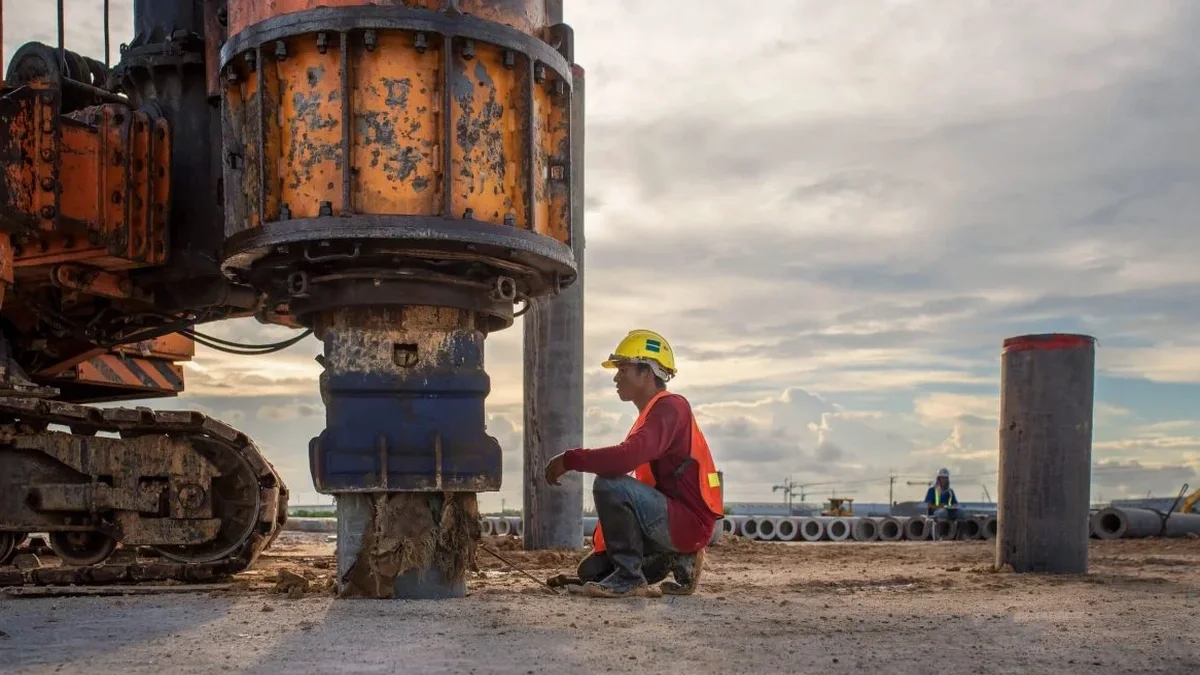
Oshawa sits on the complex glacial stratigraphy of the Lake Ontario Iroquois Plain, where the 2020 National Building Code mandates a site-specific shear wave velocity profile for any structure taller than three storeys. With over 175,000 residents and a growing skyline north of Taunton Road, the demand for accurate seismic site classification has never been higher. An MASW survey delivers the VS30 value—that critical 30-meter depth-averaged shear wave velocity—that directly influences the seismic base shear in structural calculations. We run these surveys across the city, from the shale-near-surface conditions near the GM plant to the thick silt deposits in Windfields. When a seismic refraction line is also needed to map bedrock depth, we integrate both methods in a single mobilization, saving project time while giving the geotechnical engineer a complete picture.
A five-metre difference in bedrock depth can shift Oshawa's site class from C to D—and the NBCC 2020 seismic hazard values make that distinction mandatory, not optional.
Our approach and scope
Local ground factors
The seasonal moisture cycle in southern Ontario hits Oshawa's clay-rich tills particularly hard. Autumn rains and spring snowmelt can raise the water table to within a meter of the surface in low-lying areas near Lakeview Park, temporarily reducing the near-surface Vs by 15–20 percent. An MASW survey conducted in late summer on dry, desiccated clay will overestimate the site stiffness if the design condition is a saturated spring foundation. We schedule surveys with a piezometer check beforehand, and if saturation is a concern, the report flags the seasonal sensitivity explicitly. Another risk we encounter repeatedly is cultural noise—the 401 corridor, the GO train line, and heavy industrial vibration from the port area can contaminate low-frequency dispersion data. Our processing chain applies rigorous f-k filtering and we often run stacked shots to beat the ambient noise floor, which is essential for a reliable CPT test correlation when both techniques are used to validate the ground model.
Regulatory framework
NBCC 2020 (National Building Code of Canada — seismic provisions, Site Classification), CSA A23.3-19 (Design of Concrete Structures — seismic design requirements), ASTM D7400-19 (Standard Test Methods for Downhole Seismic Testing; referenced for Vs validation)
Other technical services
NBCC Site Classification Survey
Single-line MASW acquisition processed to deliver the VS30 value and NBCC 2020 Site Class (A through E) for building permit submissions in Oshawa.
2D Vs Cross-Section Mapping
Multiple parallel or roll-along MASW lines to map lateral variations in shear wave velocity, critical for projects on the transition zone between the Lake Iroquois plain and the South Slope till moraine.
Combined MASW + Seismic Refraction
Joint acquisition using the same geophone spread to simultaneously solve for P-wave velocity (bedrock mapping) and S-wave velocity (site class), reducing field time and interpretation ambiguity.
Site-Specific Ground Response Analysis Input
Layer-by-layer Vs, modulus reduction curves, and damping ratios derived from the MASW profile, formatted for 1D equivalent-linear analysis software (DEEPSOIL, SHAKE) when the NBCC generic spectra are insufficient.
Typical parameters
Common questions
What does a VS30 MASW survey cost for a typical Oshawa residential lot?
For a standard single-family or small multi-unit lot within Oshawa city limits, the survey fee ranges from CA$2,150 to CA$3,870 depending on site access, line length, and whether bedrock is expected within the top 5 meters. A 46-meter or 69-meter spread with 24 geophones covers most NBCC requirements. If ambient noise from a nearby arterial road requires additional stacked shots, the higher end of the range applies.
How does the NBCC 2020 use the VS30 value for my Oshawa project?
The NBCC 2020 assigns a Site Class from A (hard rock, Vs30 > 1500 m/s) to E (soft soil, Vs30 < 180 m/s) based on the average shear wave velocity in the top 30 meters. This site class directly scales the short-period and 1-second spectral acceleration values. In Oshawa, where the codified Sa(0.2) ranges from roughly 0.35g to 0.55g depending on location, a shift from Site Class C to D can increase the design base shear by 30 to 40 percent. Our report provides the exact VS30 and the corresponding site class so your structural engineer applies the correct seismic hazard.
Can you run an MASW line inside an existing building or on a paved parking lot in Oshawa?
Yes, with the right coupling. On asphalt or concrete, we mount the geophones on steel base plates with a thin layer of viscous couplant to maintain mechanical contact. The energy source remains the sledgehammer impact on a plate. Indoors, we need a clear 46-meter corridor and must account for acoustic reflections from walls and columns; we typically apply a narrower frequency window during processing. It will not match the fidelity of a soil-coupled survey on open ground, but it has been accepted for Oshawa building permit applications when exterior space is unavailable.
How long does it take to get the VS30 report after the field survey in Oshawa?
Field work for a single MASW line typically takes two to three hours on site. We then process the dispersion image, pick the fundamental mode curve, and run the inversion—usually by the next business day. The final signed report with the Vs profile, VS30 calculation, and NBCC site class is delivered within three to four working days. If the project is on a tight schedule for an Oshawa building permit submission, we can expedite to 48 hours.
What is the difference between MASW and downhole Vs testing for Oshawa's glacial soils?
MASW is a non-invasive surface method that measures the average Vs over a geophone array, whereas downhole testing requires a borehole and measures Vs at discrete depth intervals using a downhole source or receiver. In Oshawa's glacial tills, MASW tends to be faster and less expensive because it does not involve drilling. However, if an SPT drilling program is already planned for split-spoon sampling, adding a downhole Vs measurement to that borehole can provide a direct layer-by-layer velocity check. The two methods are complementary—MASW gives the continuous dispersion profile, and downhole gives point calibration. We recommend MASW as the primary method for site classification and downhole as validation when a borehole is available.